Vulkaneifel
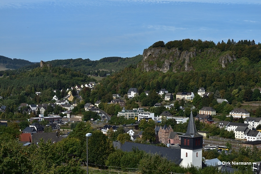
Similar to Yellowstone, the large cluster of volcanoes forming the Vulkaneifel (Volcanic Eifel) is probably originated by an ascending magmatic mantle plume of 200 x 200 km (125 x 125 mi) extension. Being part of the Eifel low mountain range in mid-western Germany, the Vulkaneifel is bordered by the rivers Rhine to the northeast, Mosel to the southeast, Aar to the northwest, and in the west it only marginally exceeds the small river Kyll near Gerolstein.

To date, approximately 370 volcanoes or volcanic throats have been identified in the Vulkaneifel, 270 of them on the West Eifel Volcanic Field, and about 100 on the East Eifel Field. Scattered about the semi-mountainous terrain are more than 70 circular or oval craters generated by phreatomagmatic eruptions where ascending magma met larger amounts of groundwater just below the surface. Some of them are filled with water and called Maar, others are dry and called Trockenmaar. More frequent are cinder cones, formerly briefly active throats generated in huge numbers by the intraplate volcanoes.
Even if the last major volcanic event, the eruption of the Laacher See Vulkan (Lake Laach Volcano) and formation of a caldera around the Laacher See in the eastern section of the region, dates back approximately 10,930 BC, volcanic phenomena can still be observed today. Among the most striking features are mofette, openings in the ground which release cold volcanic gases, mainly carbon dioxide. If underground the gas penetrates through layers of groundwater, in rare cases mofette may form cold-water geysers, such as the Geysir von Andernach.
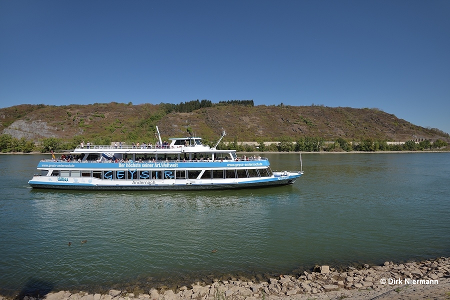
The carbon dioxide which feeds Geysir von Andernach is probably released by a magma chamber underneath the about 8 km (5 miles) distant Laacher See. The geyser is to be found next to the eastern border of the Vulkaneifel within the village of Andernach. Since it is loacted inside a restricted nature reserve on a Rhine peninsula, access is only permitted four times a day via an official ferry service.

Besides Geysir von Andernach there is a smaller cold-water geyser, called Wallender Born or Brubbel, in the little village of Wallenborn, 12 km (7.5 miles) west of Daun on the western outskirts of the Vulkaneifel. Several further villages in the region are home of springs acidified by volcanic carbon dioxide, so-called Säuerlinge, whose water was used in the past to prepare dough for bread and buckwheat cake, but none of those springs ever acted as a cold-water geyser.